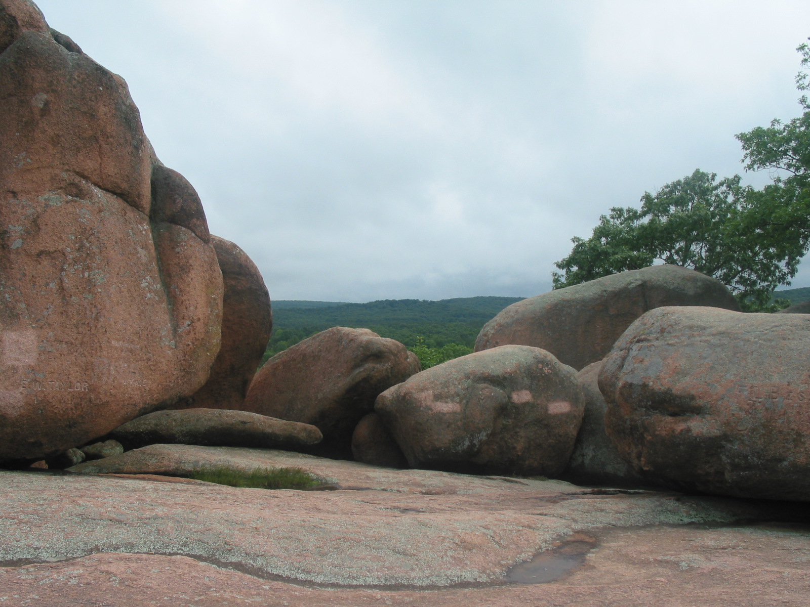
by Robert Brock | Jul 9, 2014 | attractions
The giant elephant-shaped granite boulders are the star at Elephant Rocks State Park. The coarsely crystalline red granite forms are popular with all ages. The park has a trail that winds through the rocks, which is an interpretive Braille trail. Abundant picnic areas...
by Robert Brock | Jul 9, 2014 | attractions
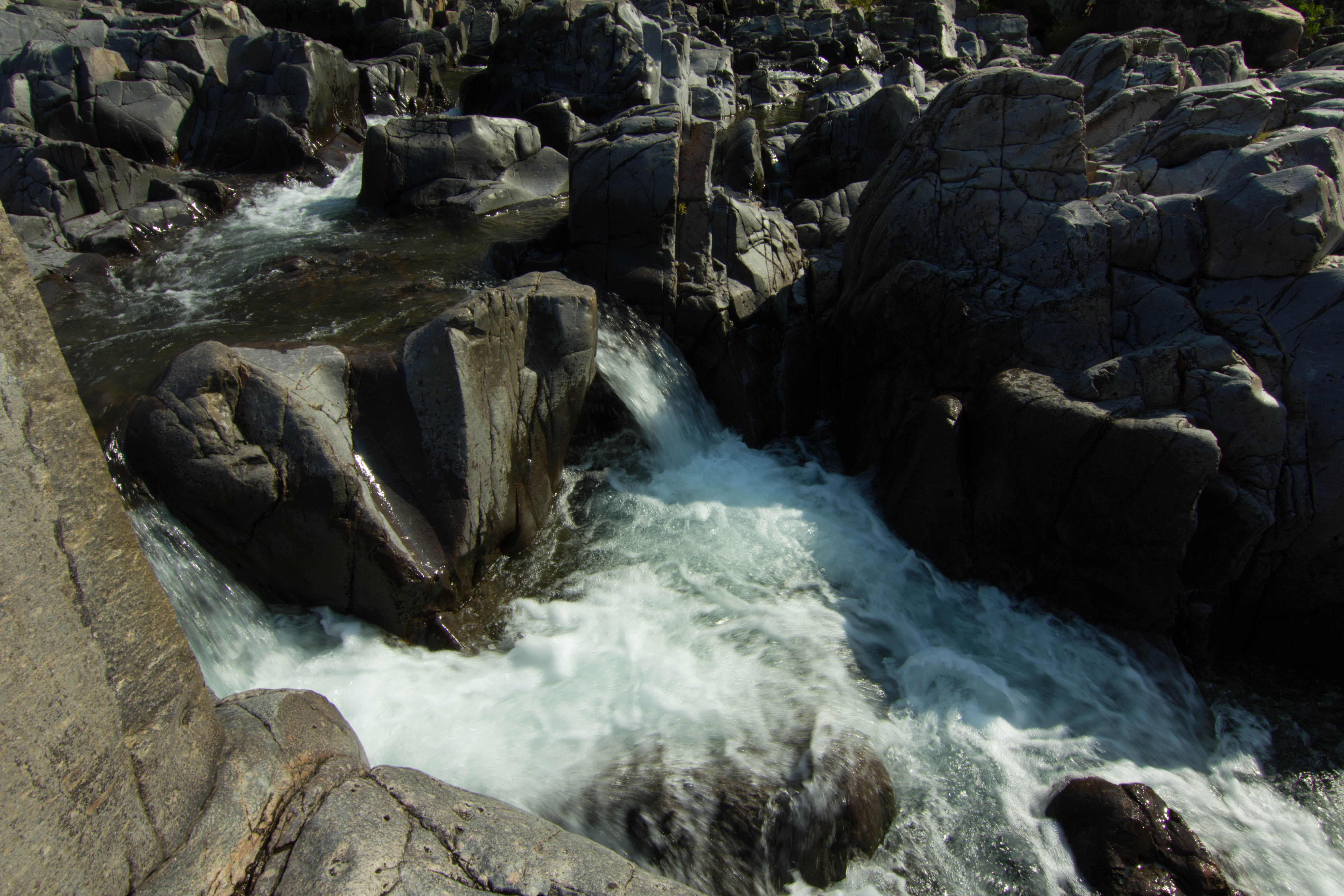
Play in the shallows of the East Fork of the Black River. Shoot through natural hydraulics in the shut-ins. Hike a trail that will show you geologic wonder. The swift waters of the Black River flow through a canyon like volcanic gorge, called a “shut-in” creating a...
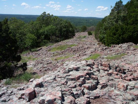
by Robert Brock | Aug 20, 2014 | attractions
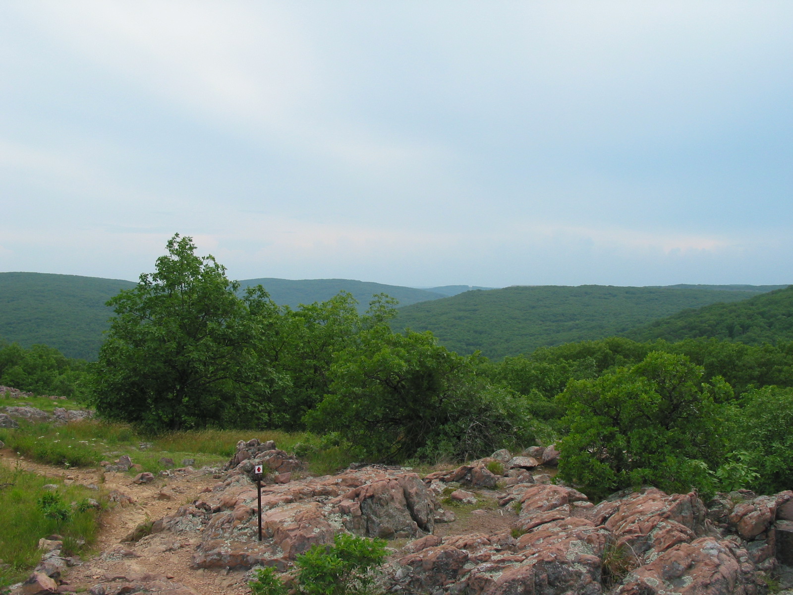
Taum Sauk Mountain State Park contains the highest point in Missouri. With beautiful trails and scenic overlook points, this is a wonderful place to see the splendor of the St. Francois Mountain Region. Climb the outlook tower, or take the 3 mile loop trail past the...
by Robert Brock | Jul 9, 2014 | attractions
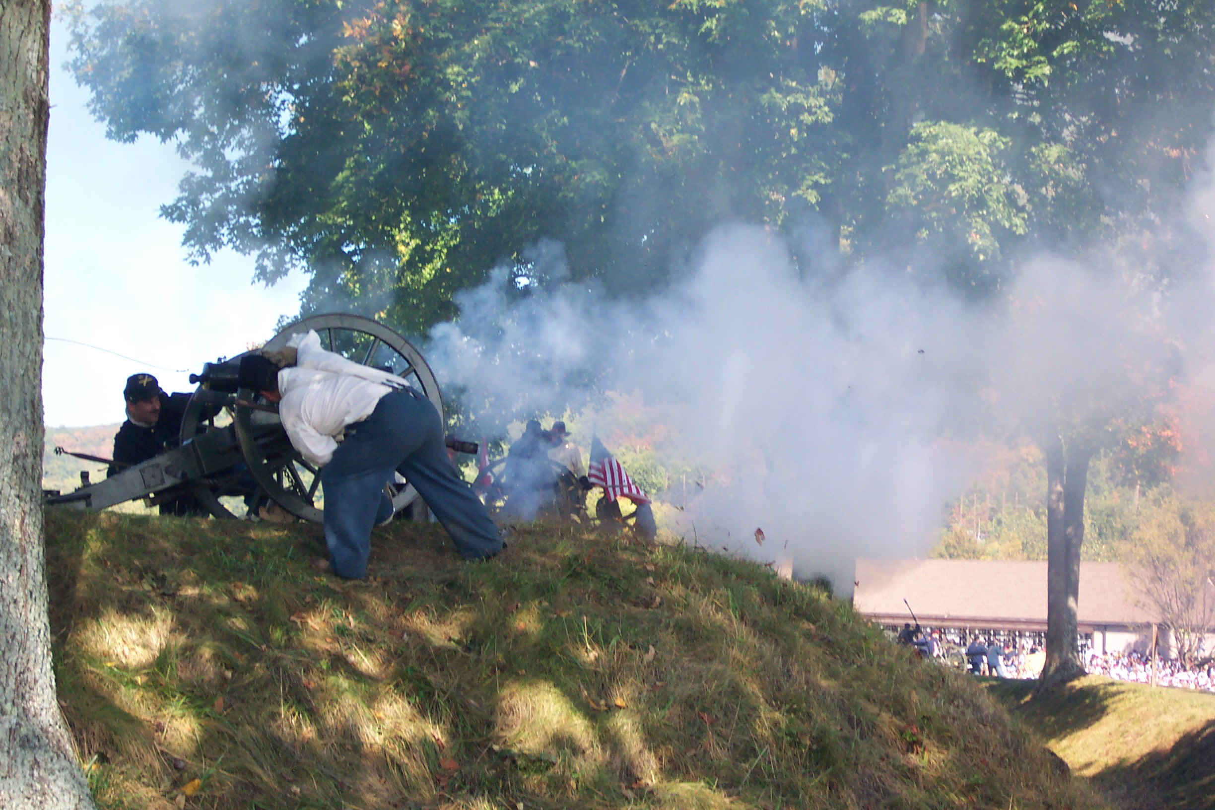
The Confederates under Gen. Sterling Price may have taken the fort, but Union efforts at Fort Davidson in the Battle of Pilot Knob were crucial to blunting the last Confederate offensive into Missouri. Fort Davidson State Historic Site preserves and interprets the...
by Robert Brock | Jul 9, 2014 | attractions
Within the Hughes Mountain Natural Area is a glade with an outcrop of columnar jointed rhyolite designated the Devil’s Honeycomb. Devil’s Honeycomb is listed in the book, Geographic Wonders and Curiosities of Missouri. Two-thirds of the area is wooded. The...